Tons of data. But not the right kind.
The bad news: Real-Time Monitors
There are four (close-to) real-time monitoring sites which will show you some aspects of air quality around the airport.
- Washington State Department of Ecology
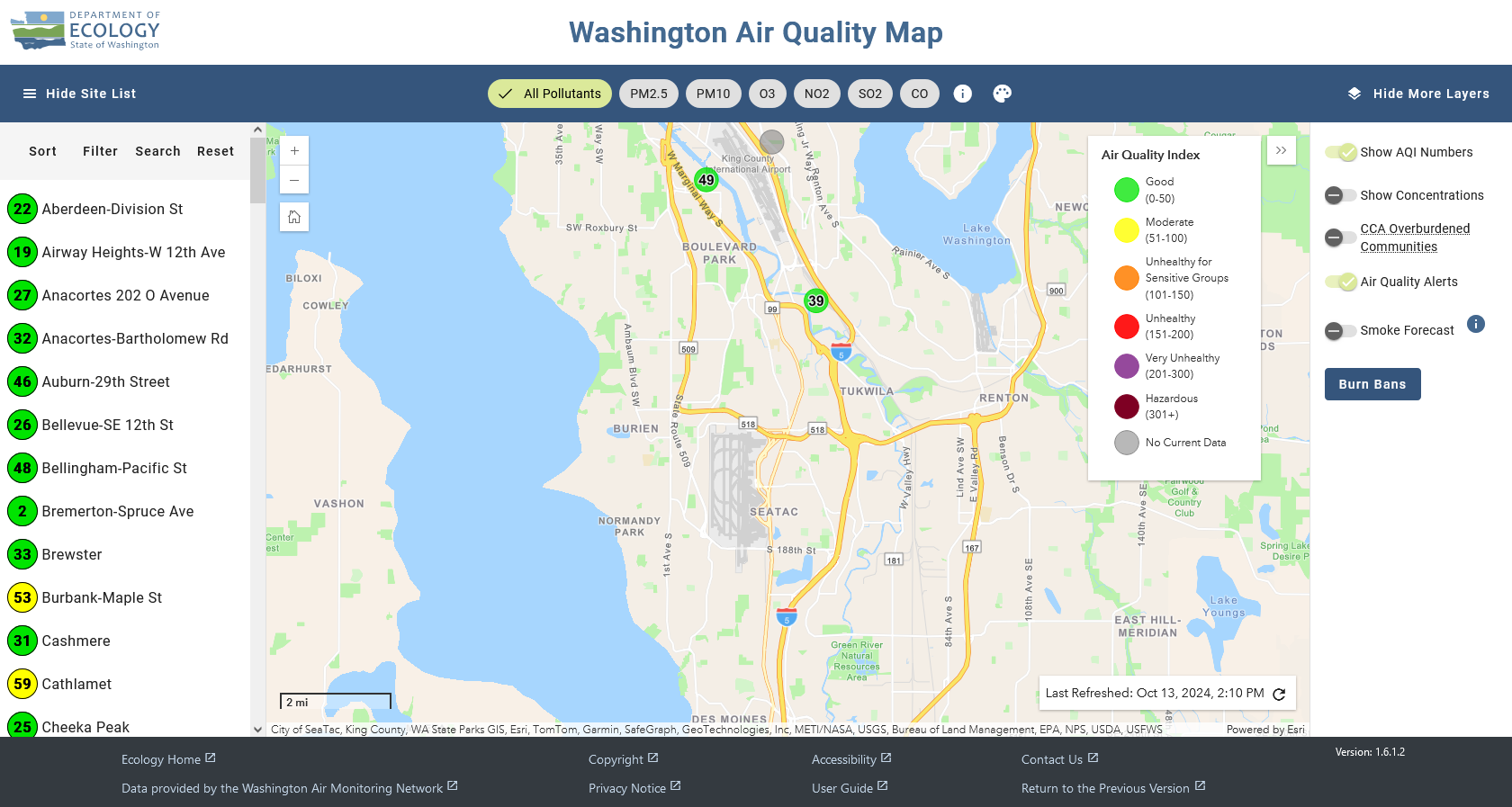 Ecology is the State agency which determines criteria (regulated) pollutants. Note that monitor closest to the airport is over nine miles away!
 - Puget Sound Clean Air Agency (PSCAA)
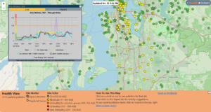 PSCAA is the four-county arm of the Environmental Protection Agency. The ‘star’ sensors are the regulatory monitors for our region. The ‘circles’ are Purple Air sensors.
 - EPA AirNow
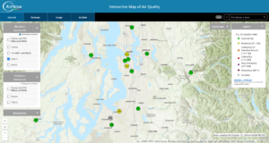 The Environmental Protection Agency has a national mapping network. Their maps pull from the regulatory (‘star’) sensors used by PSCAA.
 - Purple Air
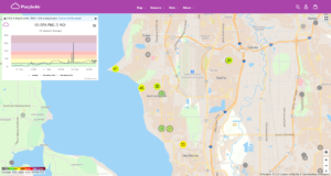 Purple Air is a network of thousands of home sensors for citizen scientists which primarily detect PM 2.5 particles. These have no regulatory influence.
Why you should be skeptical
 These sensors measure only a very small number of pollutants. And none of these networks measure aviation-specific emissions. That is not a misprint. These hundreds of sensors measure only 3-4 pollutants directly related to wildfire smoke and roadway emissions. Pollutants specific to commercial aviation are unregulated and not routinely monitored.
The good news: The 2 (soon to be 3) monitors we need
After years of delay, there are now two active monitoring sites which capture aviation-related emissions. You can monitor both their activity here http://pscaa-ultrafinepmcurtains-public.s3-website-us-west-2.amazonaws.com/
- 10th and Weller (Chinatown/Seattle)
- Sunset Park (SeaTac)
- Des Moines (Steven J. Underwood Park – awaiting construction)
To understand the benefits of having a complete network of fixed site monitors, read this: