Real-Time Monitors
There are four (close-to) real-time monitoring sites which will show you some aspects of air quality around the airport.
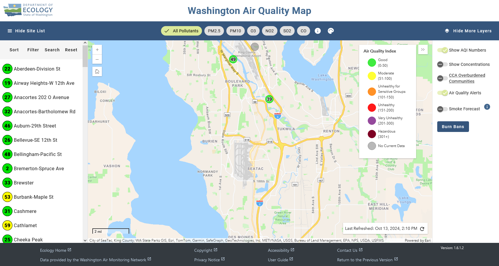
- Washington State Department of Ecology
 Ecology is the State agency which determines criteria (regulated) pollutants. Note that monitor closest to the airport is over nine miles away!
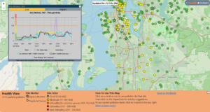
 - Puget Sound Clean Air Agency (PSCAA)
 PSCAA is the four-county arm of the Environmental Protection Agency. The ‘star’ sensors are the regulatory monitors for our region. The ‘circles’ are Purple Air sensors.
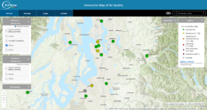
 - EPA AirNow
 The Environmental Protection Agency has a national mapping network. Their maps pull from the regulatory (‘star’) sensors used by PSCAA.
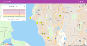
 - Purple Air
 Purple Air is a network of thousands of home sensors for citizen scientists which primarily detect PM 2.5 particles. These have no regulatory influence.
Why you should be skeptical
 These sensors measure only a very small number of pollutants. And none of these networks measure aviation-specific emissions. That is not a misprint. These hundreds of sensors measure only 3-4 pollutants directly related to wildfire smoke and roadway emissions. Pollutants specific to commercial aviation are unregulated and not routinely monitored.
To understand why, and what needs to be done about it, read this: